
Sycamore Canyon
|
On April 16, 2015, I went on a hike in Sycamore Canyon, a few miles north of Cottonwood. The trail runs along Sycamore Creek. A variety of wildflowers are in bloom.
 Panoramic view from Sunset Point on the drive to Sycamore Canyon.
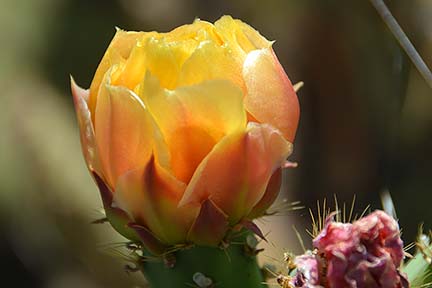 Prickly Pear Blossom at Sunset Point.
 Panorama of the mouth of Sycamore Canyon.
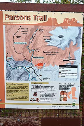 Parsons Trail sign at the trailhead. According to my GPS, it is 1.5 miles to Summers Spring.
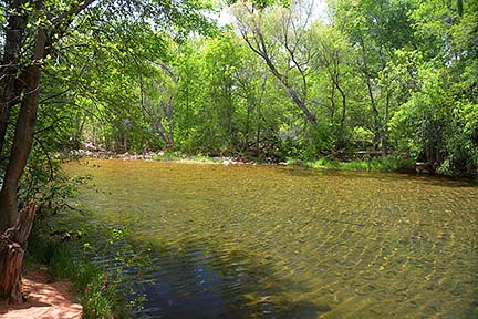 Sycamore Creek flows through Sycamore Canyon. It flows into the Verde River a short distance from the mounth of Sycamore Canyon.
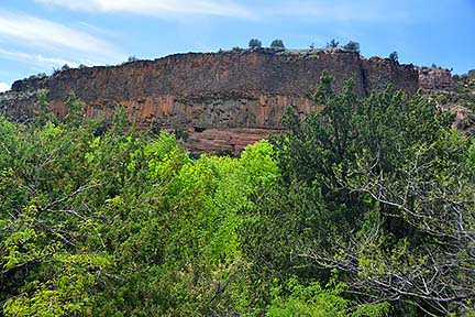 Two flows of basaltic lava sit on top of 280 million year old red sandstone of the Supai Formation. Basalt often develops vertical cracks as it solidifies, producing a pattern of hexagonal columns.
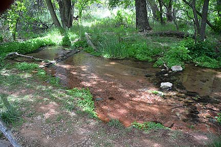 A small branch of Sycamore Creek.
 Panorama of the mouth of Sycamore Canyon from the trail. The last 1/4 mile of the trail climbs 140 vertical feet.
 Panorama of the mouth of Sycamore Canyon.
Follow @BrianLockett on Twitter for updates on the releases of my new calendars, books, and prints. Watch for coupon codes for special savings on my books and calendars at Lulu.com.
Follow Brian Lockett on Google+.
Follow Brian Lockett on FaceBook.
Visit my channel on YouTube.
 Send a message to Brian.